
Confirmed Orland Park ZIP Codes
Official Village parcel examples support two standard ZIP codes inside incorporated Orland Park: 60462 and 60467. The ZIP code directory must keep that finding separate from broader tables labeled “Orland,” Orland Township, or Census ZCTAs. Exact post office station details were not confirmed during research, so address-level USPS verification remains the sound source for a specific mailing address.
| ZIP | Orland Park areas in official examples | Postal city | Boundary note |
|---|---|---|---|
| 60462 | Central and northern areas near Ravinia, Park Lane, 143rd, 151st, 159th, and La Grange Road | Commonly Orland Park | Standard ZIP; its ZCTA extends beyond the Village boundary |
| 60467 | Southern and eastern areas near 153rd, 159th, 175th, 180th, 183rd, Marley Creek, and Wolf Road | Commonly Orland Park | Standard ZIP; an address may be in Cook or Will County |
| 60477 | Nearby Tinley Park postal area and Orland Township edge | Tinley Park | Not confirmed as a third incorporated Village ZIP |
| 60448 / 60487 | Adjacent Mokena and Tinley Park postal or township areas | Mokena / Tinley Park | Verify a historic or rural address individually |
The distinction prevents a common error. An Illinois Commerce Commission table places 60462, 60467, 60477, and 60487 under “ORLAND.” That label is useful for broad postal geography, but it does not put all four inside the incorporated village. Village parcel records supplied examples only for 60462 and 60467.
Verify an Orland Park ZIP
Use the USPS ZIP Code Lookup when a current street address is known. Search by address for the strongest result. City-and-state mode can show ZIPs associated with a postal place, but it cannot decide whether a parcel lies inside Orland Park or which county keeps its deed.
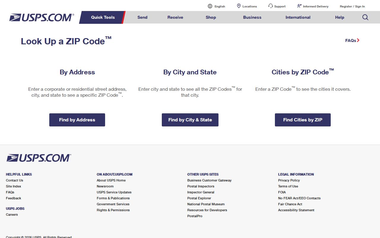
The official tool resolves postal delivery. Follow it with county parcel data when the task involves property, court, election, or local government records.
Find Orland Park Residents by ZIP
A ZIP code directory narrows a one-person or property search. It does not produce a lawful list of everyone in an area. Begin with the exact address, then use the postal and county tools in sequence.
- Verify the full address through USPS. Keep the returned preferred city and ZIP, including ZIP+4 when supplied.
- Locate the parcel in CookViewer or Will County GIS. Use municipal and county layers to determine whether it is inside Orland Park and which county applies.
- Use the Cook property portal's optional ZIP, or the Will Recorder Address tab's ZIP field, with street and number. Save the PIN or document number.
- For a specific voter match, enter the known name, birth date, five-digit ZIP, street number, and street name in the state tool. Do not treat it as a ZIP-wide roster.
- Once the area is narrowed to an address or road, use the Orland Park street directory for the address-keyed chain.
This method also catches false matches. The same street pattern can continue across a ZIP edge, municipal border, or county line. A parcel identification number is more stable than a ZIP for land work.
Orland Park ZIP Search Controls
Local portals treat ZIP data in different ways. Some accept it as a narrowing field. Others require the city, street, or parcel number instead. The controls below come from the inspected official pages.
| Portal | ZIP control | What it does |
|---|---|---|
| Illinois voter lookup | Required five-digit ZIP | Populates street choices for one registration check |
| Will Recorder Direct Search | ZIP on Address tab | Narrows deeds by address with street, number, date, or wildcard |
| Cook Property Tax Portal | Optional ZIP | Reduces property-address matches; PIN remains stronger |
| Cook Assessor | No ZIP on inspected main form | Uses PIN, address, or neighborhood |
| Will SOA | City/Town, not ZIP | Supports partial address search across cities |
| I-CASH | Optional city and ZIP | Narrows name matches; does not prove current residence |
The voter tool's ZIP field is especially easy to misread. It helps the form locate a street for one known registrant. Illinois law restricts voter-file disclosure and use, so the field is not an invitation to create a resident list by ZIP.
Orland Park ZIPs Cross Counties
Orland Park crosses Cook and Will counties. A southern address in 60467 may fall on the Will side, but the ZIP alone cannot decide the issue. The same postal city and ZIP can also appear beyond the incorporated boundary. Use CookViewer or Will County GIS to select the exact parcel, then read its municipality, county, district, and PIN.
The Will County GIS layer page documents address points, streets, parcels, municipalities, and district layers that support this check.
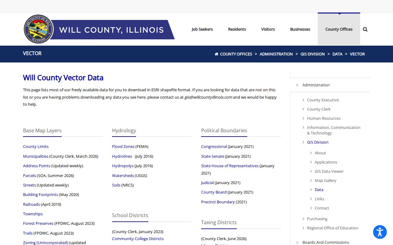
Those layers answer a records question that a plain postal map cannot: which county assessor, recorder, court clerk, vital desk, and election office controls the record.
The county choice changes the full search path. Cook parcels lead to the Cook Assessor, Cook Property Tax Portal, CookViewer, Cook Clerk Recordings, and Cook Circuit Clerk. Will parcels lead to the Supervisor of Assessments, Will GIS, Will Recorder, and Will Circuit Clerk. Vital events and election records also follow the county of custody. A preferred postal city of Orland Park does not transfer a Will record to Cook or place an unincorporated parcel under Village control.
Orland Park ZIPs and Village Limits
A ZIP code is a delivery area, not an incorporated border. A Census ZCTA is a statistical shape built to approximate ZIP geography. Neither one replaces a municipal zoning or parcel map. This matters in 60462, whose ZCTA had 40,539 people in the 2020 Census, while the Village of Orland Park had 58,703 people. Those counts describe different geographies and are not resident-directory totals.
The Census Orland Park profile shows the incorporated-place geography used for the Village count.
The screenshot represents the Village place, while a ZIP code directory follows postal routing. Comparing the two without noting that distinction creates a false population or boundary claim.
- ZIP
- A USPS routing code for mail delivery.
- ZIP+4
- A nine-digit extension that narrows delivery to a smaller segment.
- ZCTA
- A Census statistical area that approximates ZIP geography but is not a USPS boundary.
- Carrier route
- A delivery path within a postal area, not a city district.
Reading Orland Park Address Layers
One record can show several addresses. The situs is the physical parcel location. A tax-mail address is where a bill is sent and may be elsewhere. A deed adds a legal description, PIN, party address, and return address. Voter registration uses a principal residence and may keep a separate mailing address. A Village permit uses the work site and may name an applicant or contractor.
Do not merge these fields. A tax addressee may be an owner, trust, or manager. A deed party may have moved. A business address may be public without being anyone's home. The ZIP code directory supplies postal context, while the record label explains what the address means.
Recorded plats and subdivision declarations add another layer. They can tie a modern street to a legal lot, block, and subdivision even when the postal label changes. School, precinct, tax-district, and zoning layers describe separate service or legal areas. None of them should be presented as a postal ZIP boundary. For a disputed location, save the parcel number and compare the municipal layer with the assessor card and USPS result instead of relying on a map pin alone.
Older Orland Park ZIP Research
Orland Park incorporated in 1892, long before modern ZIP codes. The old Village limits were roughly 143rd Street on the north, 151st on the south, 94th Avenue on the east, and West Avenue on the west. A historic rural address beyond those limits may have been described through Orland Township, a plat, church, tax book, or legal land description instead of a modern Village street and ZIP.
For that trail, verify the current parcel and legal description first. Then consult Village Heritage Sites, the Orland Park Library, county recording offices, and Illinois State Archives holdings. Research found no official universal street-renumbering date, so do not force an old address into a guessed modern number.
The Village's historic district survey can bridge a present street address to a building style and construction period. Heritage Sites also collects Orland plat books, maps, street views, family photographs, business papers, letters, blueprints, and diaries. Those sources may place a family or property before postal ZIP codes existed. County tax books, church registers, census schedules, and newspapers can then test the connection. Always search both Orland Park and Orland Township terms when the date predates later annexation.
Counting Orland Park ZIP Areas
Population figures need the same boundary care as addresses. The 2020 Census counted 58,703 people in incorporated Orland Park, while ZCTA 60462 contained 40,539. The second number is not a subset that can simply be added to a 60467 figure to reproduce the Village total. ZCTAs follow Census approximations of postal patterns, and the incorporated place follows municipal geography. Both can cross or overlap the record boundaries that matter to a resident search.
Use these counts for broad geographic context only. They do not measure current households, registered voters, property owners, or everyone who receives mail with an Orland Park label. A current person search still requires a specific official index and its access rules. Aggregate Census data is useful for understanding an area, but it cannot verify a name or an address-level claim.
Limits of an Orland Park ZIP
The confirmed 60462 and 60467 labels are useful search keys, not proof of residence, ownership, municipal jurisdiction, or county. A ZIP-wide map can show patterns, but it cannot name every lawful occupant. Verify one address through USPS and the county GIS, then use the custodian's source for the specific fact sought.
Boundary check. Never assign an Orland Park record custodian from the ZIP alone; select the parcel and confirm Cook or Will County.