
Sources for Orland Park Neighbors
The immediate block has several public layers. GIS defines adjacent parcels. Assessment and tax systems attach published parcel facts. A recorder index shows parties to deeds and other instruments. The Illinois voter tool tests one known person's registration. Community pages identify public officers or organization contacts. Together they support a limited neighbor lookup, but they never form a complete resident roster.
| Block source | Public block evidence | How to reach it |
|---|---|---|
| CookViewer | Adjacent polygons, aerial and historical layers, districts, nearby radius | Free map; select each parcel |
| Will GIS | Parcels, address points, roads, zoning, districts, PLSS, imagery | Free viewer; layers depend on zoom |
| County assessment rolls | PIN, assessed party, value, class, and some mailing or exemption data | Cook or Will portal, parcel by parcel |
| Recorder index | Deed parties and recorded parcel history | Will index generally 1965-current; Cook Clerk route |
| State voter lookup | Registration match for details already known | Single-person form, not a block list |
| Community directories | Public organizations, businesses, officers, and association contacts | Chamber, Village, or association page |
A tax mailing address may be somewhere else. A homestead exemption can be a residence-related clue, yet neither fact proves who was inside a home on a given day. Keep the word owner for an owner field, recorded party for a deed result, and resident only for evidence that supports residence.
Place Orland Park Neighbors Correctly
The Village crosses Cook and Will counties. That line changes the assessor, GIS viewer, recorder, court clerk, and election office even when an address still says Orland Park. Start with map geometry rather than ZIP code. The incorporated Village has confirmed examples in 60462 and 60467, but postal geography can extend beyond municipal limits.
Cook-side research pairs CookViewer with the Cook Assessor and property tax portal. Will-side work joins Will GIS, Will Supervisor of Assessments, and the Recorder's Direct Search. At a county-line edge, save both the PIN and a map printout. It is easy to send a records request to the wrong custodian when a numbered street crosses jurisdictions.
Map an Orland Park Block
CookViewer has address, PIN, and intersection modes. Its Nearby Search starts with a selected parcel and a radius. Will GIS offers selectable parcels and more than 70 layer families, including address points, streets, municipal limits, townships, zoning, precincts, tax districts, school districts, PLSS sections, and aerial photos. PLSS is the Public Land Survey System used in legal land descriptions.
- Search the starting address, then select its parcel polygon rather than a nearby address-point marker.
- Zoom to the lot lines. Click each touching polygon, or use CookViewer's radius tool, and save every PIN.
- Run each PIN through the correct county assessment portal. Record published owner and mailing fields without calling them occupants.
- Use the recorder only when deed parties or association declarations matter. Check the legal description for continuity.
- Add public organization contacts after the parcel work, keeping civic contacts separate from household claims.
This method owns the small radius around one point. For every parcel along a named road, the Orland Park street directory gives the longer address chain.
Choose Orland Park Block Layers
Turn on only the map layers needed for the question. Parcel lines identify legal lots. Address points locate structures but can land near more than one parcel. Aerial imagery helps distinguish buildings, drives, outlots, parks, and vacant ground. Municipal and county lines route the next search. Zoning and taxing districts explain public geography, not who lives there.
Will's vector catalog lists weekly updates for streets and address points, with parcel data labeled Summer 2026. CookViewer's current release is dated May 28, 2026 and includes report, print, comparison, historical parcel, and nearby tools. Dates matter because a new subdivision, split parcel, or annexed edge can make an old screenshot stale. When a layer is unclear, ask the county GIS office for metadata rather than guessing what a symbol means.
Check Each Orland Park Parcel
Cook and Will searches have a useful asymmetry. The inspected Cook Assessor page exposed PIN, address, and neighborhood modes, but no owner-name field. Will's property portal explicitly offers owner name, address, PIN, sales, subdivision, and property-class methods. Cook property records require a CAPTCHA and ask that street suffixes be omitted. Will accepts partial street text and can search all cities when City/Town is blank.
For each parcel, preserve the result date, PIN, situs location, legal description, and the exact label attached to a person or entity. Situs means the physical property location. A tax-bill mailing address is a delivery point, not occupancy proof. Will data comes from township assessors, and corrections route back to the township source. This care keeps a block map from turning into an unsupported list of Orland Park neighbors.
Orland Park Community Contacts
The public organization layer can be more useful than trying to find private names. The Orland Park Area Chamber directory has Community & Civic Organizations, Not-for-Profit/Service, Religious Organizations, Government, Education, and Property Management/Condominium Association categories. It also offers keyword and ZIP controls. Its public results describe participating members, not every neighborhood or resident.
Chamber Directory
Search public members by category, keyword, or ZIP. Use it to locate an organization contact.
Evergreen View HOA
Read public association material for the named 186-home community, including bylaws, policies, and notices.
Village Boards
Find public bodies and members, including Heritage, Veterans, and other advisory groups.
No official Village-wide HOA or block-club directory was found. Evergreen View publishes governing and budget material but not a public household list. For another parcel, inspect its recorded declaration, the Chamber category, and Village board pages. A public officer or organization contact is a valid civic lead; a private member roster is not.
Remember Older Orland Park Blocks
Orland Park's older community footprint stretches beyond current parcel screens. The Village was incorporated in 1892 after settlement began in 1834. Rural land, township, church, cemetery, and county sources can predate a Village address. Historic surveys and the library's community archive help explain how a block changed without claiming that an old map names today's occupants.
The Illinois Digital Archives institution search provides access to the Orland Park History collection and other institution-level material.
Item dates and collection metadata can place a street scene or civic event in time, then county parcels can connect that history to modern geography.
Keep Orland Park Voter Searches Narrow
The Illinois registration lookup asks for first and last name, birth date, five-digit ZIP, street number, and street name. It answers whether that supplied combination matches registration data. It does not provide a browseable list of voters near an address. Illinois voter-file release is restricted by 10 ILCS 5/1A-25 and related rules.
Protected addresses create another limit. Illinois's Address Confidentiality Program can provide a substitute address to eligible survivors of domestic violence, sexual assault, human trafficking, or stalking. The absence of a person from a public result cannot be treated as evidence that the person is not nearby. Search only a known person for a lawful personal reason, and do not compile a block roster from voter data.
Compare Orland Park Neighbor Sources
Official records and commercial neighbor tools answer different questions. Official sources name their custodian, field labels, and geographic unit. Commercial tools may merge names from many dates without showing how an address link was made. A paid result is not stronger merely because it contains more names.
| Source type | Best use | Core limit |
|---|---|---|
| County GIS | Find adjacent legal parcels and boundaries | No household members |
| Assessor or recorder | Confirm assessed or recorded parties | Ownership is not occupancy |
| Public civic directory | Reach an organization or public officer | Not a resident roll |
| Commercial category | Generate leads for later verification | Unclear dates, sources, and merges |
Use the official parcel and organization trail first. If a name appears elsewhere, verify it against a dated government or archival record before relying on it.
Request Orland Park Block Records
When a portal lacks the needed file, ask for a defined record instead of “everyone on the block.” The Village Clerk handles municipal FOIA requests for records not kept by another officer. Development Services can route address-based permit and Certificate of Appropriateness material. County GIS offices can explain map metadata. Recorder counters and archive workstations handle older land instruments.
The Will County Recorder FOIA form shows the formal request route for Recorder-held administrative records.
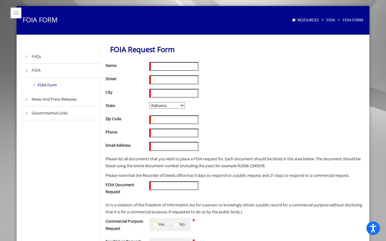
A useful request names the address, PIN, record type, and date range. Court documents and recorded copies still follow their own access and copy rules.
Privacy for Orland Park Neighbors
Parcel and deed systems do not reveal every renter, roommate, child, guest, unregistered voter, or protected person. Private HOA member records, utility accounts, delivery records, and driver addresses are not public block lists through the inspected sources. Aerial images show structures, not the identity or daily life of the people there.
Use public records for property curiosity, family history, civic contact, or a specific safety concern within the law. Do not publish a speculative roster. Keep dates and source labels with every saved result, and remove an inference when the underlying record only proves ownership or a mailing destination.
Lawful use. Orland Park neighbor records are for lawful personal and civic research. Never use them to watch, stalk, harass, intimidate, or harm anyone.